The Dunton Resource Archive Project

[ The Archive ] [ The Research Library ] [ Dunton Times ]

[ Support Opportunities ] [ Dunton GeneWeb Project ]

[ The Homesite Webstore ]

[ The W. Herbert "Buck" Dunton Online Exhibit ] [ Homepage ]

Maps 

Some of these resources are only available as hardcopy held in our library.  Time permitting, specific searches and copies can be made.  You will be quoted a cost before work commences.  Other material is available by clicking the hotlink.  As always, donations of photos, documents, family memorabilia, stories, and money is always gratefully accepted.

Liverpool & surrounding area, Landranger Series, Sheet 108, 1:50,000 scale, Ordinance Survey, Southampton Crown, England, 1991, ISBN 0-319-22108-3
Chester, Wrexham & surrounding area, Landranger Series, Sheet 117, 1:50,000 scale, Ordinance Survey, Southampton Crown, England, 1992, ISBN 0-319-22117-2
Great Britain and Ireland, 1:1,000,000 scale, prepared for British Petroleum by George Phillip and Son, Ltd., London, 1973
Domesday Chesire
anchient_cheshire.gif (16371 bytes)
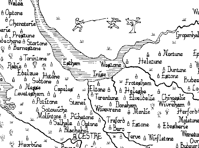
This image is courtesy of John Garmon Williams commercial site.  He sells hand colored historical maps of the Domesday period.  You may access his site at http://www.gwp.enta.net/.

Click on the image for a larger view.  Look at about the middle of the right hand margin for an important location.

lirr_map.jpg (222909 bytes) Long Island (NY) Rail Road Line Map.  Click here for more information about Fredrick Dunton and here for information about the LIRR.

Copyright © 1996-2018 by The Dunton Family Organization -- All rights reserved
To view The Dunton Homesite™
privacy policy, click here.
The Dunton Homesite™ is the property of The Dunton Family Organization
This page was last Updated January 16, 2019.


Click Here for Heirloom Tomato Seeds Victory Seed Company Save Seeds - Victory Horticultural Library